Aerial Photography: Exploring Nigeria from an Elevated Perspective

Discovering Nigeria from New Heights
The beauty of Nigeria is not only visible on the ground but can also be breathtaking when viewed from above. Aerial photography offers a unique opportunity to capture the diverse landscapes of this vibrant country. With stunning visuals, photographers can showcase Nigeria’s rich culture and natural wonders in ways that ground-level shots simply cannot achieve.
Why Aerial Photography Matters
- Unique Perspectives: Hovering above the earth reveals intricate patterns and colors of cities and nature. From the geometric layouts of urban planning in Abuja to the natural artistry of the coastal lines along Lagos, aerial views provide fresh eyes to familiar scenes.
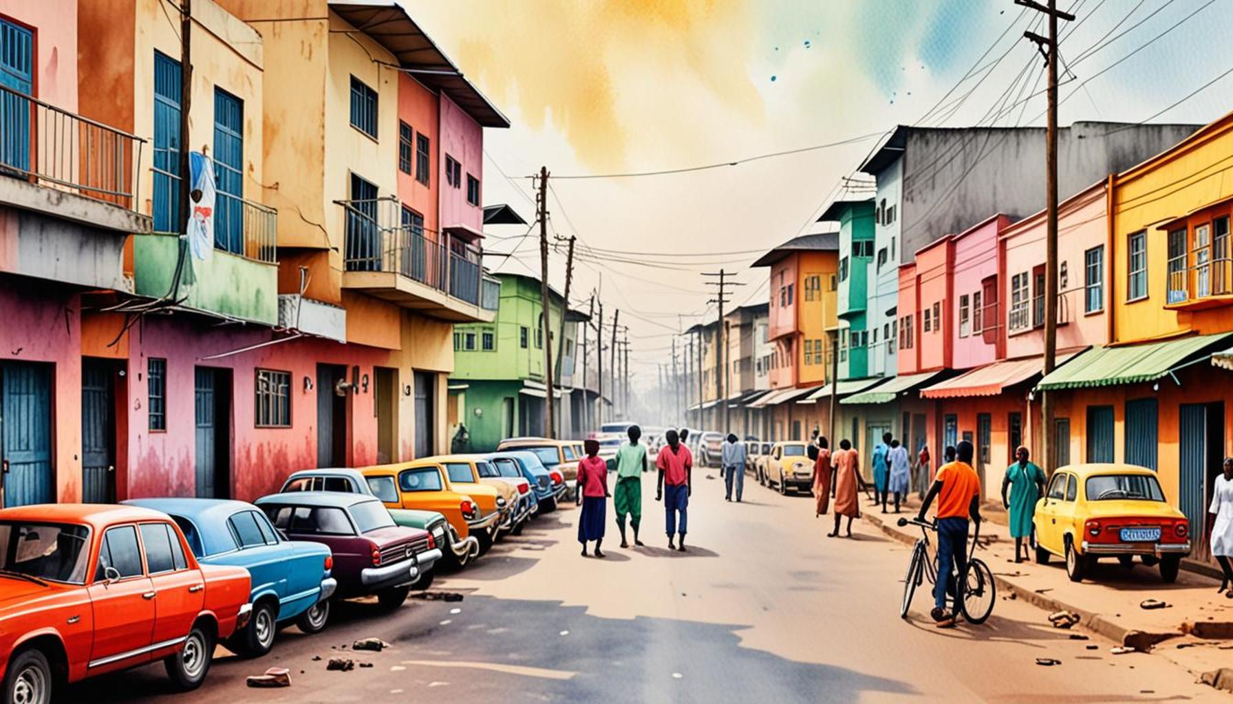
- Showcasing Diversity: Aerial shots can capture the contrast between urban areas like Lagos, with its high-rise skyscrapers and bustling streets, and serene locations such as the Osun Sacred Grove, a UNESCO World Heritage Site famed for its sacred shrines and diverse wildlife. This juxtaposition highlights Nigeria’s incredible versatility.
- Storytelling: Images taken from the sky tell compelling stories about the people and places that make Nigeria unique. For example, an aerial photograph of the iconic Zuma Rock can evoke tales about traditional folklore and its importance to the Gwari people, linking the landscape to cultural narratives.
This innovative form of photography is becoming increasingly accessible thanks to advancements in technology, including drones. Photographers can now effectively document Nigeria’s various environments, making the act of capturing these vibrant scenes more feasible than ever.
- Vibrant Markets: Aerial views highlight the bustling commerce of cities, such as the sprawling Balogun Market in Lagos, where vendors display colorful fabrics, spices, and handicrafts. Observing the market from above reveals the impressive organization and scale of trade that are often missed at ground level.
- Natural Resources: From the winding paths of the Niger River to the dramatic ridges of the Jos Plateau, landscapes take on dramatic new forms when viewed from the air. Such perspectives expose the beauty of Nigeria’s geographical diversity, emphasizing its role as a crucial player in agriculture and natural resources.
- Cultural Heritage Sites: Capturing historical landmarks like the ancient city walls of Kano or the Aso Rock presidential villa from above adds depth to their historical significance. These aerial photos can not only serve as art but also educate viewers about Nigeria’s rich heritage and its evolution through time.
As we delve deeper into aerial photography, we invite you to explore these elevated perspectives that showcase the magic of Nigeria. Whether it’s the lush greenery of the Obudu Mountain Resort or the striking landscapes of the Niger Delta, this form of photography opens doors to new explorations. So, grab a camera, book a flight, or even take a drone out for a spin—discovering Nigeria from above is an adventure that promises to unveil stories waiting to be told.
SEE ALSO: Click here to read another article
The Art and Science of Aerial Photography
Aerial photography is not merely a hobby; it is a compelling blend of art and technology that enables photographers to showcase the world from elevated perspectives. In Nigeria, this practice becomes particularly significant as it unveils the country’s cultural wealth and natural elegance. With the aid of advanced drone technology, capturing dynamic images of Nigeria’s landscapes has reached new heights—literally and figuratively.
Technological Advancements in Aerial Photography
The democratization of aerial photography through drones has transformed how we engage with our environment. No longer confined to professional photographers with expensive aviation resources, these unmanned aerial vehicles provide a cost-effective means to capture intricate details from above. Equipped with high-resolution cameras, drones allow us to document Nigeria’s beautiful terrain—from rocky highlands to lush wetlands—with breathtaking clarity.
Visualizing Nigeria’s Urban Landscape
The urban sprawl of cities like Lagos, Ibadan, and Abuja presents an incredible canvas for aerial photography. High-rise buildings, sprawling neighborhoods, and intricate road networks can be seen from above, revealing patterns and layouts unseen at ground level. A photograph of the Lekki-Ikoyi Link Bridge, taken from an elevated viewpoint, showcases the engineering marvels that define the city, while simultaneously capturing the rhythm of life bustling below.
- Regional Diversity: Each city presents a unique character influenced by culture, history, and demographics. For example, aerial views of the vibrant streets of Yaba, a tech hub, contrast sharply with the colonial architecture found in areas like Lagos Island. The ability to juxtapose these diverse regions adds layers to the understanding of Nigeria’s urban narrative.
- Environmental Perspectives: Urban photography also allows for an examination of human impact on the environment. Aerial shots of the Lekki Free Trade Zone reveal the interplay between development and nature, where thriving eco-systems compete with expanding infrastructure.
- Festivals and Events: Quirky aerial views of large-scale events, such as the Calabar Carnival, capture the pulse of cultural festivities. From the vibrant colors of costumes to the waves of spectators, aerial photography embraces the fervor and celebration emanating from the ground below.
Connecting with Nigeria’s Natural Wonders
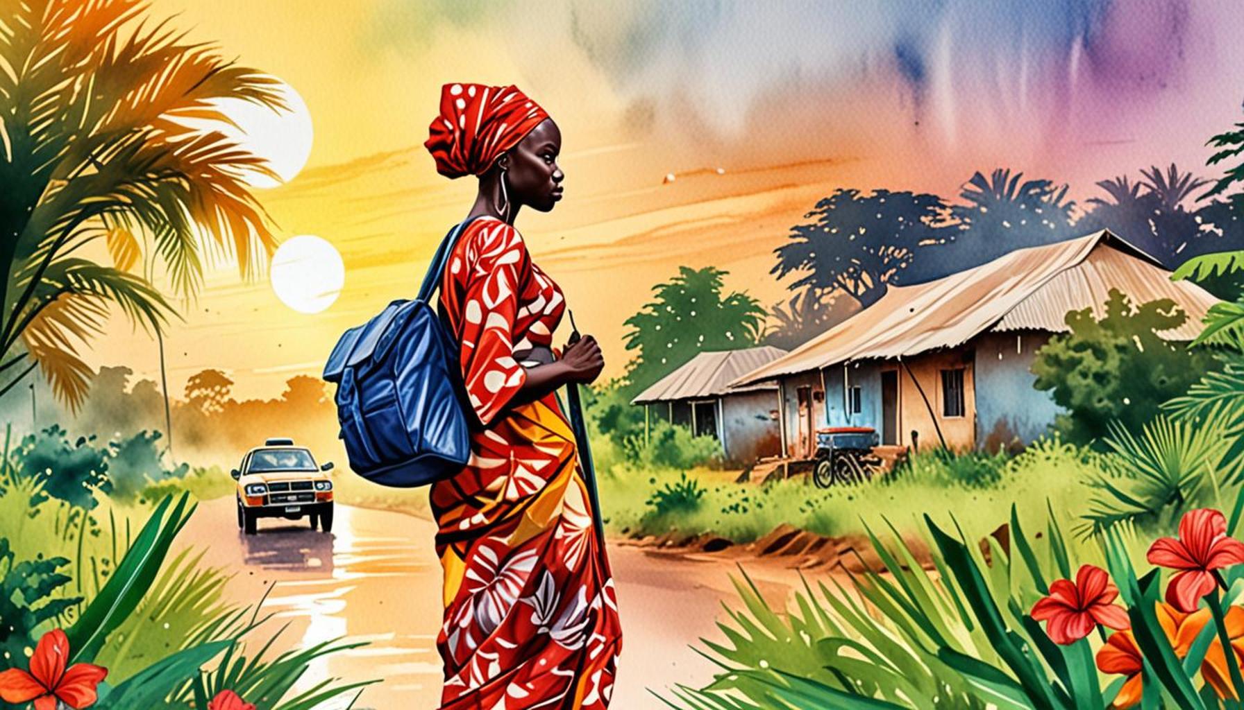
Aerial photography also unravels the astounding beauty of Nigeria’s landscapes. The dramatic contrast between the arid terrain of the northeast and the lush rainforests of the south creates a visual tapestry that beckons exploration. A bird’s-eye view of the Obudu Mountain Resort immerses viewers in a sea of green, showcasing undulating hills and rich biodiversity that characterize this stunning region.
In addition to the breathtaking scenery, aerial images of Nigeria’s natural resources—such as the sprawling Niger River, which serves as a lifeblood for surrounding communities—illustrate the critical role these landscapes play in the ecosystem.
Aerial photography is the lens through which we can perceive the vastness of Nigeria’s landscapes and the myriad stories they hold. As more enthusiasts and professionals delve into this exhilarating medium, the exciting journey of discovering Nigeria from above promises to provide opportunities for new narratives, deeper connections, and a profound appreciation for the country’s beauty.
Aerial Photography: Exploring Nigeria from an Elevated Perspective
Aerial photography offers a unique glimpse into Nigeria’s diverse landscapes and vibrant cultures. From the rolling hills of Jos to the bustling markets of Lagos, capturing images from above provides an extraordinary vantage point. The use of drones has revolutionized this field, allowing photographers to document Nigeria’s beauty and complexity like never before. As we venture deeper into the advantages of aerial photography, let us explore how this innovative technique enriches our understanding of Nigeria.
| Category | Advantages |
|---|---|
| Visual Storytelling | Engages viewers by showcasing Nigeria’s natural beauty and cultural richness in a way that traditional photography cannot. |
| Enhanced Perspective | Provides captivating views of landscapes and cityscapes, revealing the interplay of geography and urban development across Nigeria. |
From promoting tourism to safeguarding cultural heritage, aerial photography is becoming essential in various sectors. It plays a vital role in mapping geographical changes, supporting environmental research, and even presenting artistic interpretations of Nigeria’s diverse regions. Photographers and enthusiasts alike are discovering new opportunities to showcase the beauty of Nigeria from an elevated perspective, leading to a greater appreciation of the nation’s landscape and its various cultural narratives. This is not just photography; it’s a visual journey through Nigeria that invites viewers to explore, understand, and connect with a land full of stories waiting to be told.
YOU MAY ALSO LIKE: Read read another article
Transforming Perspectives: Capturing Cultural Heritage
Aerial photography serves as a vital tool for documenting Nigeria’s rich cultural heritage, featuring stunning landmarks and ancient sites that tell the story of the nation’s past. From the majestic Aso Rock in Abuja to the captivating ancient walls of Benin City, these historical sites gain new life when viewed from above, offering an entirely different angle that can invoke a sense of both nostalgia and curiosity.
Historical and Cultural Sites from Above
Through aerial photography, the intricate designs of Nigeria’s cultural landmarks can be vividly captured. For instance, a soaring view of the Olumo Rock in Abeokuta reveals not only its formidable presence but also the surrounding landscape that historically provided refuge to the Egba people during tumultuous times. Similarly, the aerial perspective of the National Museum in Lagos unveils the beautifully sculpted museum gardens and the architectural beauty of the structure itself, emphasizing its importance in preserving Nigerian history.
- Architectural Marvels: Drones unveil the prowess of Nigerian craftsmanship in structures like the Nigerian National Theatre. Aerial photography highlights the iconic shape and vibrant colors of the building, showcasing it as a symbol of Nigeria’s artistic identity.
- Preservation Efforts: With many historical sites facing threats from urban expansion, aerial images play a critical role in advocacy. Documenting areas at risk, such as the ancient sites of Igbo-Ukwu, raises awareness and fosters greater support for preservation initiatives.
- Art in the Sky: Festivals often showcase traditional architecture and cultural expressions unique to various ethnic groups. Capturing the grandeur of events like the Durbar Festival from above empowers photographers to tell stories of unity amid Nigeria’s diversity, merging colorful parades and iconic buildings.
Environmental Narratives through Aerial Photography
The lens of aerial photography not only reveals the cultural heritage of Nigeria but also highlights the pressing environmental issues the nation faces. Aerial views of emerging industrial zones juxtaposed against Nigeria’s abundant natural landscapes depict the ongoing struggle between development and conservation. For instance, images of the Obafemi Awolowo University in Ile-Ife display the breathtaking surroundings of campus life while also pointing to the fragility of the nearby Olumirin Waterfalls, which is threatened by increasing footfall and pollution.
Moreover, aerial photography allows for comprehensive documentation of both urban and rural areas, revealing how climate change affects communities. A bird’s-eye view of the shrinking Lake Chad further serves to illustrate the degradation of vital water sources, striking a chord with observers while compelling scientists, policymakers, and advocates to take action. When juxtaposed with thriving regions, these images can drive conversations around environmental sustainability and conservation efforts across the country.
As avid photographers explore Nigeria’s varied landscapes and cultural touchstones, aerial perspectives become a powerful narrative tool. This ever-expanding repository of images not only enriches our visual culture but also serves as a reminder of our shared heritage and the landscapes that shape our identity as a nation. The journey of aerial photography continues to transform how we view and interact with Nigeria, casting new light on the stories waiting to be told from above.
SEE ALSO: Click here to read another article
Conclusion: The Sky’s the Limit in Aerial Photography
In conclusion, aerial photography unveils a fascinating dimension of Nigeria’s diverse landscapes, rich cultural heritage, and ongoing environmental challenges. The ability to capture breathtaking views of landmarks like Aso Rock and the vibrant parades at the Durbar Festival offers a unique lens through which we can appreciate the stories these places embody. This elevated perspective not only serves as an artistic expression but also plays a crucial role in preserving and advocating for Nigeria’s historical sites, such as the ancient walls of Benin City and the archaeological treasures in Igbo-Ukwu.
Furthermore, aerial photography fosters an urgent dialogue about the delicate balance between development and conservation. As we view the sprawling urban centers alongside Nigeria’s natural landscapes, we become more aware of the environmental issues threatening our ecosystems. The striking imagery of Lake Chad‘s decline underscores the pressing reality faced by communities reliant on these critical resources.
As the field of aerial photography continues to evolve, it opens up vast opportunities for exploration and storytelling, encouraging both locals and tourists to engage with Nigeria from a fresh perspective. By piquing curiosity and fostering a deeper connection to our cultural and environmental heritage, we can ensure that the stories of Nigeria—both past and present—are preserved for generations to come. The sky’s the limit in discovering what our beloved nation has to offer from an elevated viewpoint, and the journey of exploration is just beginning.